
Imagine discovering—months after pouring concrete and welcoming guests—that a new RV pad or glamping deck sits three feet inside a setback you didn’t know had changed. The fine arrives first, the cease-and-desist letter follows, and suddenly that “quiet” expansion is a public headache. What if you could rewind the clock, scan every build, and catch zoning missteps before a single inspector does?
Thanks to Google Earth’s historical imagery, that crystal ball already exists. By sliding through years of high-resolution snapshots—and letting AI flag even the smallest fresh roofline—you can audit your entire property from a laptop, no drone pilot’s license required. Quarterly five-minute flyovers can save five-figure penalties, preserve neighbor goodwill, and keep reservations rolling instead of stalled by red tape.
Ready to turn a free satellite timeline into the cheapest compliance insurance you’ll ever buy? Keep reading; the next few minutes could spare you your next six-month permitting battle.
Key Takeaways
Before diving into the how-to, skim these quick points—they’re the backbone of a routine that turns satellite peeking into real-world savings and stress-free inspections. Each takeaway is a single, actionable habit that slot seamlessly into the workflows you already run for maintenance, safety, and guest relations.
• Google Earth Pro is free and lets you look at past and present images of your land.
• Moving the time slider helps you spot new pads, roofs, or roads that may break setback or zoning rules.
• A 5-minute check every three months can prevent costly fines, stop-work orders, and angry neighbors.
• Create a “baseline” map now: add parcel lines, setback lines, flood zones, and dated photos, then lock it in a cloud folder.
• Use a simple color code—green (okay), yellow (check on site), red (possible violation)—to track changes.
• Walk the property with a phone or drone to confirm what the satellite shows; measure if needed.
• If a red flag appears: verify, document, call the zoning office for guidance, and fix the issue in steps.
• Large portfolios can add AI tools and drone scans to find changes automatically and save staff time.
• Real parks have saved thousands of dollars and kept bookings open by following this routine.
• The habit is easy: free software, a set schedule, and clear records protect your business and peace of mind.
Think of these points as your field checklist in text form. Tape them inside the maintenance shed door, drop them into your SOP binder, or paste them into the recurring calendar invite for quarterly scans—anywhere they’ll nudge your team until the process becomes second nature.
The Cost of Invisible Lines
Boundary mistakes rarely happen on purpose; they creep in while operators focus on guest Wi-Fi, site-map redesigns, and next weekend’s live-music schedule. One extra gravel pull-through or a longer deck feels harmless until you learn the county counts every square foot against impervious-surface limits. A single citation can freeze online bookings, spook investors, and invite neighbor complaints that linger far longer than the concrete.
Planners and enforcement officers now patrol from their desks, scrolling the same aerial layers you can access for free. Twenty clicks can uncover a freshly widened road or a tree buffer thinned just a bit too aggressively. Getting ahead of that view reshapes compliance from a defensive scramble into a predictable maintenance routine.
The Free Toolkit Already on Your Laptop
Google Earth Pro comes with a time-slider that reveals imagery from as far back as 2003 in many counties. Zoom in, drag the slider, and watch cabins, pads, and drainage swales pop into existence—complete with the month and year they appeared. Urban-development researchers have validated this timestamp accuracy, confirming that structural change detection is reliable for compliance auditing (Methods-X study).
Layer in Google’s Open Buildings dataset and you gain up-to-date polygons for every roofline around your property (Open Buildings dataset). Those outlines help verify your own footprint and spot neighbor projects that might spark shared-driveway or view-shed disputes later. For bigger portfolios or tighter schedules, entry-level AI platforms compare the newest image to your baseline automatically, an approach already proven with convolutional neural networks that flag fresh roofs and cleared spaces (AI zoning detection).
Freeze Today: Build a Baseline Map Everyone Trusts
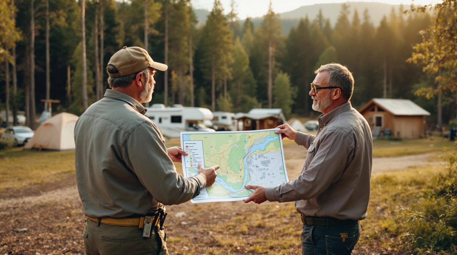
Start by turning the freshest Google Earth frame—or a recent drone orthomosaic—into your “never-questioned” reference layer. Overlay parcel boundaries, setback lines, flood zones, easements, and utility corridors so future teammates see every regulatory tripwire at a glance. Store that master map in a cloud folder labeled “Baseline – DO NOT MODIFY,” and restrict edits to version-controlled copies made only after written permit approvals.
Next, walk the grounds with a smartphone. Snap geo-tagged photos of each cabin corner, bathhouse wall, and utility pedestal from multiple angles. Link those images to the baseline so a new operations manager, two years from now, can verify if a deck’s overhang really was original or quietly expanded one busy Saturday. Shared read-only access keeps owners, attorneys, and maintenance leads looking at identical data, ending the “Which map is right?” debate before it starts.
Ten Minutes a Quarter: Your New Monitoring Ritual
Treat imagery reviews like filter changes or pool-chemical checks—scheduled, repeatable, assigned to one owner. On the first Monday of every quarter, open Google Earth Pro, pull up the time slider, and compare the last three image dates. Use screen captures to document anything that looks different, color-coding the log: green (no change), yellow (ground verification needed), red (potential violation).
Threshold rules prevent analysis paralysis. For example, any cleared area larger than two RV pads triggers an on-site walk-through within 72 hours. Snapshots and notes drop into the same cloud folder as your baseline, creating an audit trail insurers love and regulators respect. Five minutes of clicking now often replaces a $7,500 phone call later.
Ground Truth Meets Sky View
Even the sharpest satellite photo can’t measure a drainage-ditch slope or confirm that a shed’s foundation sits exactly six inches above grade. Pair every aerial review with a 15-minute field checklist: laser-range setback measurements, quick drainage observations, and timestamped smartphone photos. Maintenance staff armed with a tablet showing the most recent satellite layer can mark issues on the screen as they walk, eliminating later transcription errors.
When precision matters—say, a disputed property corner near a utility easement—launch a drone flight that lands on pre-marked ground-control targets. Those targets align the photogrammetry output with your Google Earth scene, so millimeter-level details overlay seamlessly. The result: a 3-D surface model that can reveal subtle grade changes or slight road realignments missed by the naked eye.
What Happens When Red Flags Turn Up
Emotion spikes the moment a potential violation appears, so lean on a simple decision tree: verify, document, consult, act. First, confirm the change by comparing baseline photos and measuring on site. Then collect imagery screenshots, field photos, and date stamps—regulators appreciate a neat package of evidence showing you take compliance seriously.
Next, call the local zoning office framing the conversation as a request for guidance, not a confession. Early, cooperative contact often softens the process and keeps complaints off public record. If remediation is needed, stage it: re-green an unpermitted gravel pad while permit paperwork processes, or shrink a deck footprint one section at a time to keep guests safe and revenue flowing.
After resolution, file a close-out memo in your baseline folder so future managers know the issue is settled. Include the date, corrective steps taken, and any permit numbers so the record is airtight. Have both the operations lead and a witness—ideally the zoning officer or a licensed surveyor—sign the memo to cement its credibility.
Scaling Compliance with AI and Drones
Manual reviews remain cheap and effective until your imagery sessions exceed four hours per quarter or your portfolio spans multiple states. At that point, AI earns its keep by training on historical aerial sequences to flag anomalies automatically. Researchers have demonstrated models that detect new roofs, foundations, and vegetation loss with impressive accuracy (AI zoning detection).
Combine that intelligence with drone-captured 3-D models, and you can monitor grade changes that affect stormwater permits or ADA access ramps (Methods-X study). Negotiate software licenses per property, not user seats, and consider partnering with community-college GIS programs for low-cost image classification projects. Every dollar saved in field hours or avoided fines compounds across a growing portfolio.
Real-World Wins That Pay for Themselves
A 120-site Texas RV resort recently spotted a contractor extending a service road six feet into a utility easement during its routine quarterly scan. The team halted work the same afternoon, filed a minor-modification request, and avoided a $4,000 citation plus a month of lost bookings. Their total investment: two staff members, 45 minutes, and a free Google Earth Pro download.
Another glamping startup in Oregon used baseline maps to prove that its tent platforms pre-dated a new riparian-buffer ordinance. The visual evidence fast-tracked a grandfather exemption and kept 14 premium riverfront sites online for summer high season. Stories like these illustrate how modest tech and consistent habits translate into direct, measurable ROI.
Think of it this way: every pixel you track today becomes another night’s booking you’ll never have to refund tomorrow. When you’re ready to fold satellite audits into the same smart dashboards that already power your reservations, reviews, and revenue, let Insider Perks show you how seamless compliance can be. Our team weaves AI image-detection, automated alerts, and marketing insights into a single pane of glass—so the only surprises on your property are the ones that delight guests. Curious what that looks like for your park? Schedule a quick strategy call and see how protecting your setbacks can set you up for your next record season.
Frequently Asked Questions
Q: How accurate are Google Earth’s dates and measurements for proving when something was built?
A: Google Earth Pro displays the capture month and year that Google receives from its imagery vendors, and peer-reviewed studies have shown those timestamps to be reliable within a few weeks for most U.S. counties; horizontal measurement accuracy is usually within 1–3 feet for high-resolution tiles, which is sufficient for spotting encroachments but should be paired with on-site laser or survey confirmation before you submit anything to regulators.
Q: Is it legal to use freely available satellite imagery as evidence in a zoning dispute?
A: Yes; Google’s terms let you download, print, and present Earth imagery for documentation as long as you leave the attribution watermark visible, and planning departments routinely accept such third-party aerials as supporting exhibits because the data are publicly accessible and verifiable.
Q: How often does Google update rural or recreation-area imagery, and will quarterly checks be useful if new photos only appear once a year?
A: Update frequency varies, but even in remote areas new scenes typically drop every 12–18 months, so a quarterly ritual mostly involves comparing the last two or three captures to your baseline; the routine keeps you practiced, maintains a clean audit trail, and means you notice the new image the week it arrives instead of six months later.
Q: What if my campground sits in a low-resolution patch where individual pads look blurry?
A: You can still track larger additions like new roads or cleared land, and you can supplement the blurry layer with a one-time drone orthomosaic or county aerial download to create a crisp baseline that lets you measure fine-grained changes going forward.
Q: Will satellite screenshots actually hold up if a neighbor challenges my setback compliance at a hearing?
A: They won’t replace a licensed boundary survey, but planners and hearing boards routinely accept dated aerials to establish chronology—showing when a deck or driveway first appeared—especially if you pair them with ground photos and staff affidavits that the structures haven’t moved since.
Q: Do I need GIS software or coding skills to overlay setback lines and easements on the imagery?
A: Google Earth Pro lets you import simple KML or shapefile layers that your county GIS office can usually email you for free, and drawing a 25-foot buffer or coloring a flood zone is a point-and-click exercise that takes minutes once you have the source file.
Q: How much does basic AI change-detection cost for a single park, and is it worth it?
A: Entry-level services aimed at small real-estate portfolios start at roughly $50–$100 per month per property; for a solo campground that spends more than two hours per quarter on manual reviews or faces fines exceeding a few thousand dollars, the automation generally pays for itself in staff time and early-warning savings.
Q: Can I rely solely on Google Earth instead of hiring a surveyor before I break ground?
A: No; satellite imagery is excellent for ongoing monitoring and catching unplanned creep, but initial layout and new construction near setback or easement boundaries still call for a licensed survey to anchor your basemap with certified control points.
Q: How far back can I go to prove a structure was grandfathered before a rule changed?
A: Many U.S. regions have imagery back to 2003, sometimes earlier, which is often enough to demonstrate that cabins, pads, or roads existed prior to ordinances enacted in the past decade; combine the oldest available frame with dated guest photos or receipts for extra credibility.
Q: Will storing my baseline maps and field photos in the cloud expose proprietary site designs or guest data?
A: Use a dedicated folder with link-based, view-only permissions for outside consultants and regulators, omit any reservation or payment data, and back up the files to an encrypted drive; the imagery itself is already public, so the main sensitive information is your annotated setbacks and utility runs, which are safe behind standard cloud security protocols.
Q: What happens if my quarterly scan flags a possible violation but I’m unsure if it truly crosses the line?
A: Treat the finding as a yellow flag—verify it on the ground with tape or laser measurement, photograph the spot, log the evidence next to your baseline, and then call the zoning office for informal guidance; showing that you self-audited and documented proactively almost always earns cooperative rather than punitive treatment.
Q: Do inspectors actually look at Google Earth before visiting my property?
A: Increasingly, yes; many planning departments begin their case reviews with the same historical slider you can access for free, so adopting the tool yourself simply means you see what they will see—preferably weeks or months earlier.