
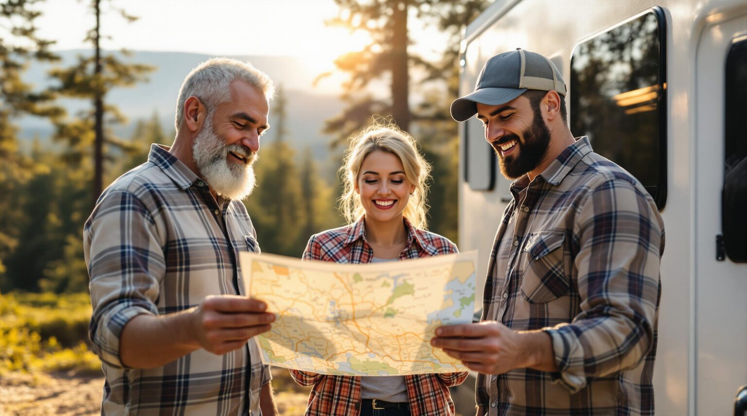
What if the road beyond your front gate became the most profitable amenity you offer? Picture guests unfolding a beautifully branded map of your region—one that you helped create—then spending the next three days (and a healthy chunk of their travel budget) at the partner restaurants, museums, and trailheads you’ve spotlighted.
A collaborative scenic-driving route map turns empty miles into measurable revenue, deeper community ties, and glowing online reviews. It’s more than ink on paper or pins on an app; it’s a ready-made itinerary that keeps rigs rolling toward businesses that reward your park for every stop.
Ready to transform “checkout” into “see you tonight after the waterfalls”? Buckle up—here’s how to design, monetize, and maintain a regional route that has RVers raving and partners lining up to be featured.
Key Takeaways
A powerful route map is equal parts hospitality amenity and revenue strategy, guiding travelers toward memorable experiences while keeping your campground at the center of their adventure. Use the list below as your quick-reference playbook when you move from inspiration to implementation.
• Turn nearby scenic roads into a fun driving loop that starts and ends at your campground
• 71 % of RV travelers pick trips for the views, so a good map keeps them longer and happier
• Partner with local food spots, museums, and stores; they pay for map spots and give guest deals
• Check every road for RV safety: bridge height, steep grades, tight turns
• Use clear icons, short safety notes, and Leave No Trace tips so drivers feel calm and careful
• Add a QR code that opens GPS directions and lets you track scans and guest feedback
• Share the map on your website, desk, social pages, and town visitor centers to reach more people
• Update roads, hours, and seasons often; a fresh map keeps trust and repeat visits.
Why Scenic-Route Collaboration Is the New Guest-Experience Goldmine
Seventy-one percent of RV travelers rank “scenic drives” as a trip-planning priority, which means the route your guests follow can be as influential as your Wi-Fi speed. Imagine windshield-wide panoramas where sunlit canyon walls glow amber, or farm valleys unfurl like patchwork quilts beneath a big-sky horizon—your scenic driving route map can guide every moment of that visual feast. When that loop begins and ends at your campground, shoulder-season vacancies shrink, average daily rate climbs, and guests gush online about the unforgettable detours you curated, priming them to spend freely at each stop you’ve pre-negotiated for commission. Suddenly your park isn’t just an overnight stop; it’s the hub of a multi-day mini-vacation that they can’t wait to share on social media, setting the stage for the monetization mechanics we unpack next.
A mapped loop also unlocks ancillary revenue that goes far beyond site fees. Featured icon placements, coupon redemptions, and bundled “Stay + Drive + Paddle” packages inject fresh cash into your ledger while positioning local partners as indispensable parts of the journey. Because travelers spend within a defined ecosystem, both your business and the community benefit from longer stays, higher average spend, and repeat visits fueled by word-of-mouth enthusiasm.
Step 1 – Pinpoint the Perfect Byways Around Your Park
Start with a desktop audit instead of a full tank of diesel. Pull your state DOT scenic-byway list, then cross-reference it with the top RV routes database to see which drives already resonate with motorhome travelers. Drop 30-, 60-, and 90-minute rings around your location and look for loops that touch waterfalls, farm-to-table markets, or Civil War battlegrounds. Those built-in themes give your marketing story immediate traction and visual appeal.
Practicality keeps rigs rolling, so filter each candidate road through an RV lens. Note bridge clearances, grade percentages, and turn-radius challenges long before glossy design begins. If a segment squeezes at a hairpin, map an alternate bypass and publish the maximum recommended length for peace of mind. Accessibility builds confidence, and confident drivers extend their stay rather than bolt for the next park.
Step 2 – Recruit and Align Local Partners for Mutual Profit
Create a simple spreadsheet listing tourism boards, independent restaurants, museums, outfitters, and essential services like fuel or repair shops. For each prospect, define the “ask” (logo placement, coupon, safety tips) and the “give” (map inclusion, social shout-outs, potential commissions). When every stakeholder sees both sides of the ledger, collaboration feels less like a favor and more like a smart joint venture.
Monetization works best when guests still perceive the map as a trustworthy guide. Offer tiered ad spots—featured icons for premium sponsors, bold text for mid-level, basic listings for everyone else—and cap inventory so the design never feels like a classifieds page. Seasonal rotation keeps content fresh and opens new revenue windows: ski rentals in winter, berry farm stands in summer, kayak tours in spring. Clear pricing and limited slots drive urgency while protecting guest trust.
Step 3 – Design an RV-Friendly, Intuitive Map
Use color-coded segments to break the route into digestible stretches, pair them with mileage markers, and drop drive-time bubbles so travelers can plan fuel and lunch stops at a glance. Icons earn their keep: dump stations, propane fills, pet-friendly pull-outs, and ADA viewpoints should pop visually. A legend that mirrors industry standards reduces cognitive load and helps tired drivers make fast, safe decisions without squinting over small print.
Liability lives in the details—and in the icons. Place a prominent disclaimer noting that road conditions change and travelers must verify live updates before departure. Mark steep grades, tight switchbacks, and low bridges with unmistakable symbols, then list emergency contacts for tow trucks, ranger stations, and 24-hour clinics. Including a laminated pre-trip inspection checklist at your departure kiosk encourages safe habits while satisfying insurance requirements.
Environmental stewardship can share the same real estate. Brief Leave No Trace reminders, links to refill water stations, and a note about approved dump points reinforce low-impact travel without preaching. Suggest off-peak visit windows to disperse crowds, preserve natural resources, and deliver a less congested experience—another reason guests will praise your expertise in five-star reviews.
Step 4 – Go Digital: From Pocket-Size to Pocket-Screen
A QR code on the printed map should launch guests directly into a mobile interface that mirrors the physical design but layers on GPS-enabled, turn-by-turn navigation. Integrate live traffic and construction alerts so drivers don’t learn about bridge work the hard way. Voice navigation compatible with commercial-grade GPS units prevents “car-only” detours that could strand a 45-foot motorhome on a one-lane bridge.
Digital platforms also serve as data mines. Assign unique QR codes to each distribution point—front desk, visitor center, partner restaurant—and track scan rates to see which channels move the needle. Build in a one-minute survey that rewards completions with a camp-store discount, and watch real-time feedback flow in. Heat-map analytics highlight underused segments, allowing you to adjust signage or messaging before bad experiences pile up.
Step 5 – Market & Distribute the Map for Maximum Reach
Leverage every owned channel first. Feature the route in a website hero banner, repurpose this blog into SEO-friendly snippets, and include the map in an automated post-stay email that invites guests back for the “routes they missed.” Social media reels showcasing dash-cam footage spark wanderlust and shareability, extending your organic reach without extra ad spend.
Don’t stop at your front desk. Stock local visitor centers, regional tourism offices, and partner business counters with both printed versions and QR standees. Issue a press release that highlights projected economic uplift, citing rising interest in national-park road trips for 2025—a trend flagged by RV demand research. Media outlets love data-driven success stories, and your park becomes the expert source.
Step 6 – Keep It Fresh: Trends, Updates, and Seasonal Tweaks
Roads change hourly; maps can too. Monitor DOT feeds for construction updates and push alerts through your app so drivers reroute smoothly. Rotate attraction hours, new restaurant openings, and seasonal closures as soon as they surface to protect the map’s credibility. Nothing erodes trust like a “must-see” vista that’s suddenly behind a barricade or a lunch stop that no longer serves food.
Schedule an annual strategy session with partners and your insurance agent. Review liability language, update icon standards, and share an infographic celebrating miles driven, dollars spent locally, and five-star reviews earned. When stakeholders see results in black and white, they renew sponsorships with enthusiasm—and often bigger budgets. Fresh data also guides tweaks to route length, stop variety, and marketing copy so the experience evolves alongside traveler trends.
The road is ready and your guests are eager—now it’s your turn to shift from idea to ignition. Partner with Insider Perks and tap into marketing muscle, AI-powered automation, and ad strategies that turn a simple map into a perpetual booking engine. We’ll help you brand the route, line up sponsors, and track every QR-code scan right back to your bottom line, all while you stay focused on welcoming rigs at the gate. Curious what a 50-mile loop could do for your occupancy and ADR? Cruise over to InsiderPerks.com and let’s start plotting miles—and revenue—together.
Frequently Asked Questions
Q: How much should I budget to create a collaborative scenic-route map from concept to first print run?
A: Parks typically invest between $2,500 and $7,500 for the initial project, which covers graphic design, cartography licensing, the first 1,000 laminated copies, and a year of hosting for the companion mobile map; most or all of that outlay can be offset by preselling premium icon placements and coupon spots to local partners before you go to press.
Q: What’s the most effective way to convince restaurants, museums, and outfitters to pay for placement?
A: Approach each prospect with a one-page sheet that pairs clear visitor data—your nightly occupancy numbers, average party size, and typical spend per guest—with a tiered rate card showing how map exposure translates into foot traffic, then sweeten the deal by bundling social media shout-outs or on-site signage so they see multi-channel value rather than a single ad buy.
Q: Can featuring external businesses create liability if a guest has a bad experience or an accident en route?
A: You mitigate risk by adding a concise disclaimer that conditions, hours, and safety factors can change without notice, by marking known hazards with industry-standard symbols, and by having your insurer review the map language; courts generally uphold that reasonable warnings and third-party independence protect the park from downstream negligence claims.
Q: How long should the route be so guests still want to return to my campground at night?
A: A 60- to 120-mile loop that can be driven in three to five hours—including meal, hike, or museum stops—is the sweet spot, as it feels like a full mini-adventure yet encourages travelers to keep your site as their home base instead of booking another campground down the road.
Q: What mapping software or service works best for RV-friendly design elements like bridge heights and grade percentages?
A: Most parks contract a cartographer who builds the base layer in GIS or Adobe Illustrator, then pulls RV-specific data from sources such as OpenStreetMap, state DOT databases, and the FMCA Route Planner API, ensuring low-clearance icons and grade warnings are baked in before the final export to print and app formats.
Q: How do I keep the digital version updated without blowing my marketing budget every time a restaurant changes hours?
A: Host the route on a platform that separates content fields from the graphic layer—think StoryMapJS or customized Google My Maps—so you can log in, tweak a description or business hour, and publish instantly without paying a designer for every minor revision.
Q: What ROI benchmarks should I track to know whether the map is working?
A: Monitor three leading indicators: QR-code scans tied to your front desk, coupon redemptions or partner promo codes, and average length of stay before and after launch; if scans exceed 40% of check-ins and average guest nights climb by even 0.5, the project usually pays for itself within a single season.
Q: Do I need state or federal permission to promote a designated scenic byway?
A: Public roads are fair game for promotion, but using official “National Scenic Byway” logos or signage requires a simple usage agreement from your state DOT or tourism office; most agencies gladly approve as long as you follow brand guidelines and don’t alter the marks.
Q: How do I handle a competing campground that also wants to join the map?
A: Position yourself as the primary curator and sell them a standard listing just like any other local service, which keeps the collaboration spirit alive while maintaining your premium branding on cover art, route description, and first-look placements.
Q: What print specs hold up best in an RV environment?
A: A trifold or quadfold on 100-pound synthetic paper with matte lamination resists water, sunscreen, and folding fatigue, and adding a UV-coated QR code panel prevents glare and scratching so guests can scan reliably even in bright sunlight.
Q: How do I prevent the map from feeling like a cluttered coupon booklet?
A: Cap paid partner slots at roughly one per 15 miles of driving, cluster them in a sidebar legend instead of plastering the route itself, and reserve prime icon sizes for wayfinding necessities—fuel, dump stations, and emergency services—so the commercial elements never overwhelm navigational clarity.
Q: Is guest data collected through the map subject to privacy regulations?
A: Yes; if you gather email addresses or survey responses, you must disclose that in a brief privacy notice accessible from the QR-code landing page and comply with CAN-SPAM and GDPR opt-out standards, but anonymous scan counts, heat maps, and click-through rates usually fall outside personally identifiable information rules.
Q: How frequently should I revisit partner pricing?
A: Review rates annually, presenting sponsors with the previous year’s engagement metrics; demonstrating rising scans and longer guest stays justifies incremental increases of 5-15% and keeps revenue growth aligned with map performance.
Q: Can I integrate the route into my existing reservation system or app?
A: Most property-management platforms let you embed a web-based map via iframe or deep link, so you can trigger an automated “Explore Tomorrow’s Scenic Loop” email or push notification right after a guest completes online check-in, driving immediate adoption without new software contracts.